Ottberger Höhenweg

11.69 km long
Round trip
Difficulty: medium
Condition: medium
Forest road
Regional hiking trail
  • 3:58 h
  • 11.69 km
  • 468 m
  • 470 m
  • 128 m
  • 337 m
  • 209 m
  • Start: Hiking information point at Stockfeld
  • Destination: Hiking information point at Stockfeld
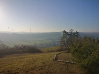
The high trail leads to the wooded hills to the north of Ottbergen with wonderful views of the Nethe and Weser valleys.
Over the Stockberg, where the orchids bloom in spring, you pass the Amelunxer hut around the "Herbramer Holz" to the Stoot, where the Stoothütte invites you to rest with an impressive panorama before returning to the starting point through the "Ramdalgraben" hollow path.
Logo Ottberger Höhenweg

Good to know

Best to visit

suitable
Depends on weather

Tour information

  • Good Connection to public Transport

  • Loop Road

  • Nature Highlight

License (master data)

Reinhold Menke
License: Attribution, ShareAlike

Contact

Ottberger Höhenweg
37671 Höxter