Wandergebiet Köterberg - Panorama-Tour

GPX

PDF

4.52 km long
round trip
Difficulty: medium
condition: medium
Great panorama
Regional hiking trail
  • 01:20 h
  • 106 m
  • 111 m
  • 379 m
  • 490 m
  • 111 m
  • 4.52 km
  • Start: Parking lot in the village of Köterberg
  • Destination: Parking lot in the village of Köterberg
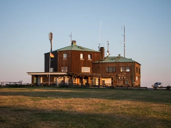
Simply fabulous - the panoramic tour is a circular route and leads around the top of the Köterberg, which at 496 meters is the highest elevation in the Lipper Bergland.

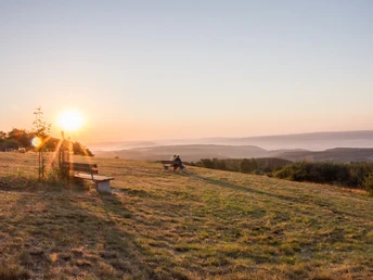
This tour takes you around the top of the Köterberg and through the abandoned settlement of Strohberg on mainly natural paths for around 4 km. Shortly after the start in the village of Köterberg, the Red Wall provides an impressive insight into the geological structure of the mountain. You can always enjoy fantastic views of the vast landscape on meadow paths and light forest edge paths with comfortable benches. You will cross the border between North Rhine-Westphalia and Lower Saxony twice on this hike. The narrow Lower Saxonian border tube still bears witness to the territorial claims of the Duke of Braunschweig, combined with the hope of gaining access to the supposed treasures of the mountain.


More hiking tours around the Köterberg


- Siedlertour


- Nature on the trail

Good to know

Best to visit

suitable
Depends on weather

Directions

From the parking lot in the village of Köterberg, we follow the asphalt path in a southerly direction. Behind the impressive marl hollow (Rote Wand), we turn left and after a few meters keep right at the bench. After a short time with beautiful views of the Niese valley, we reach a light forest edge path. We follow this until we leave the forest again and come to a meadow path. We keep to the left. There are now beautiful views of the Weser valley and the Solling. Many special plants along the way bear witness to the diversity of vegetation in this sunny location. You can enjoy the complete silence on the benches. Within sight of the Strohberg settlement, we turn right and take a look at the lonely, abandoned farmsteads (now hunting lodges). How hard it must have been to live and work up here. After this detour, we keep left again and reach our starting point. Passing the two former farms, we continue straight ahead towards the eastern flank of the Köterberg, leave the wide forest path at the second junction and follow the narrower forest path straight ahead. Here we cross the border between North Rhine-Westphalia and Lower Saxony twice (old boundary stones visible). The narrow Lower Saxon boundary line still bears witness to the territorial claims of the Duke of Brunswick, combined with the hope of gaining access to the supposed treasures of the mountain. Unfortunately, this hope was not fulfilled, but the people of Lower Saxony can still boast that they have a share in the most beautiful panoramic mountain in the Weserbergland. We soon reach a wider forest path, which we follow to the left at a junction (marked X18/19). Here, at the edge of the forest, we have beautiful views of the Ottenstein plateau and the Poller Weser valley with the Voglerkamm ridge. We cross the summit road, climb a path on the opposite side and keep left on the widening path. After a few meters, it branches off to the right into a beautiful narrow path along the edge of the forest. The view over the village of Köterberg to the Westerberg and Hohen Mörth and into the Pyrmont valley makes us linger. We soon come to the steep mountain path to the summit above the Rote Wand. We descend to the right and follow the asphalt path back to the starting point.

Tour information

  • Loop Road

  • Stop at an Inn

Directions & Parking facilities

Parking lot in the village of Köterberg

More information

This is a quality B hiking trail.

Contact person

Tourist-Information Lügde
Am Markt 1
32676 Lügde

Author´s Tip / Recommendation of the author
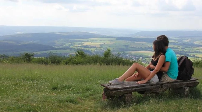
In the winter months, the Köterberg attracts visitors of all ages with outstanding skiing and tobogganing opportunities.
Getting there
Tourist-Information Lügde
Am Markt 1
32676 Lügde